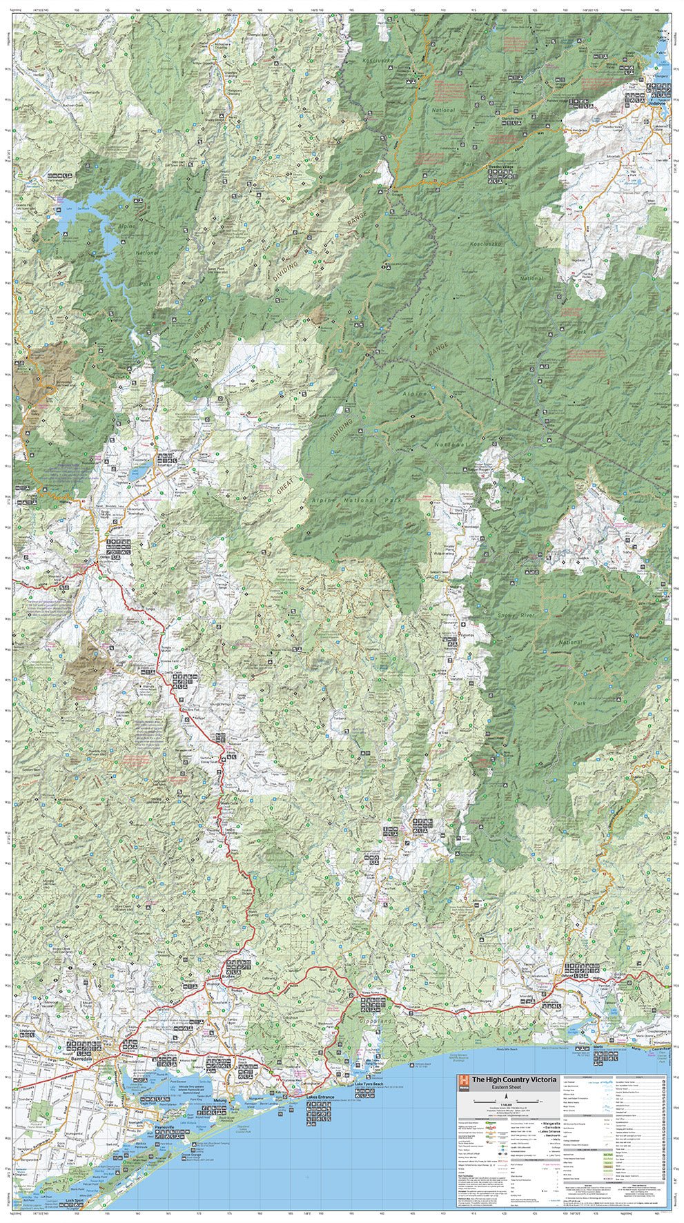
The Victorian High Country - Eastern Super Map - 800x1430 - Laminated
A large laminated map that features updated mapping of the Eastern region of the Victorian High Country. Spanning from Omeo in the West to Jindabyne in the East down to Lakes Entrance in the South, this map covers an amazing area of natural beauty ideal for hikers, mountain bikers, 4WDrivers and daytrippers.
Key Features
- Fully field checked by Hema's Map Patrol
- Featuring the Alpine, Snowy River and Kosciuszko National Parks
- 4WD tracks marked
- Relief shading
- Iconic huts marked
- Points of Interest and facilities listed
Key Specifications
Edition: 1st
Publication Date: 03/06/20
Scale: 1:140,000
Flat size (WxH): 800mm x 1430mm
Weight: 0.45kgs
Product Information
Product Information
Shipping & Returns
Shipping & Returns
Description
A large laminated map that features updated mapping of the Eastern region of the Victorian High Country. Spanning from Omeo in the West to Jindabyne in the East down to Lakes Entrance in the South, this map covers an amazing area of natural beauty ideal for hikers, mountain bikers, 4WDrivers and daytrippers.
Key Features
- Fully field checked by Hema's Map Patrol
- Featuring the Alpine, Snowy River and Kosciuszko National Parks
- 4WD tracks marked
- Relief shading
- Iconic huts marked
- Points of Interest and facilities listed
Key Specifications
Edition: 1st
Publication Date: 03/06/20
Scale: 1:140,000
Flat size (WxH): 800mm x 1430mm
Weight: 0.45kgs


