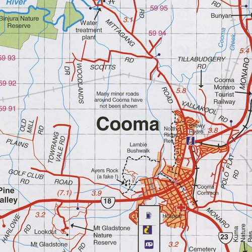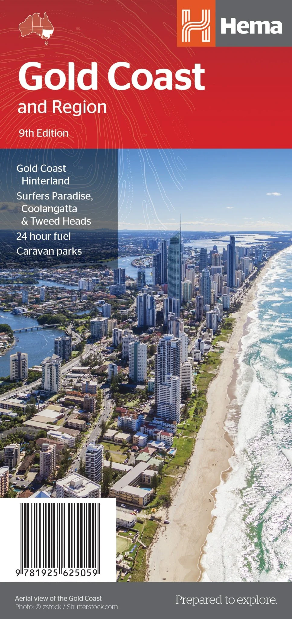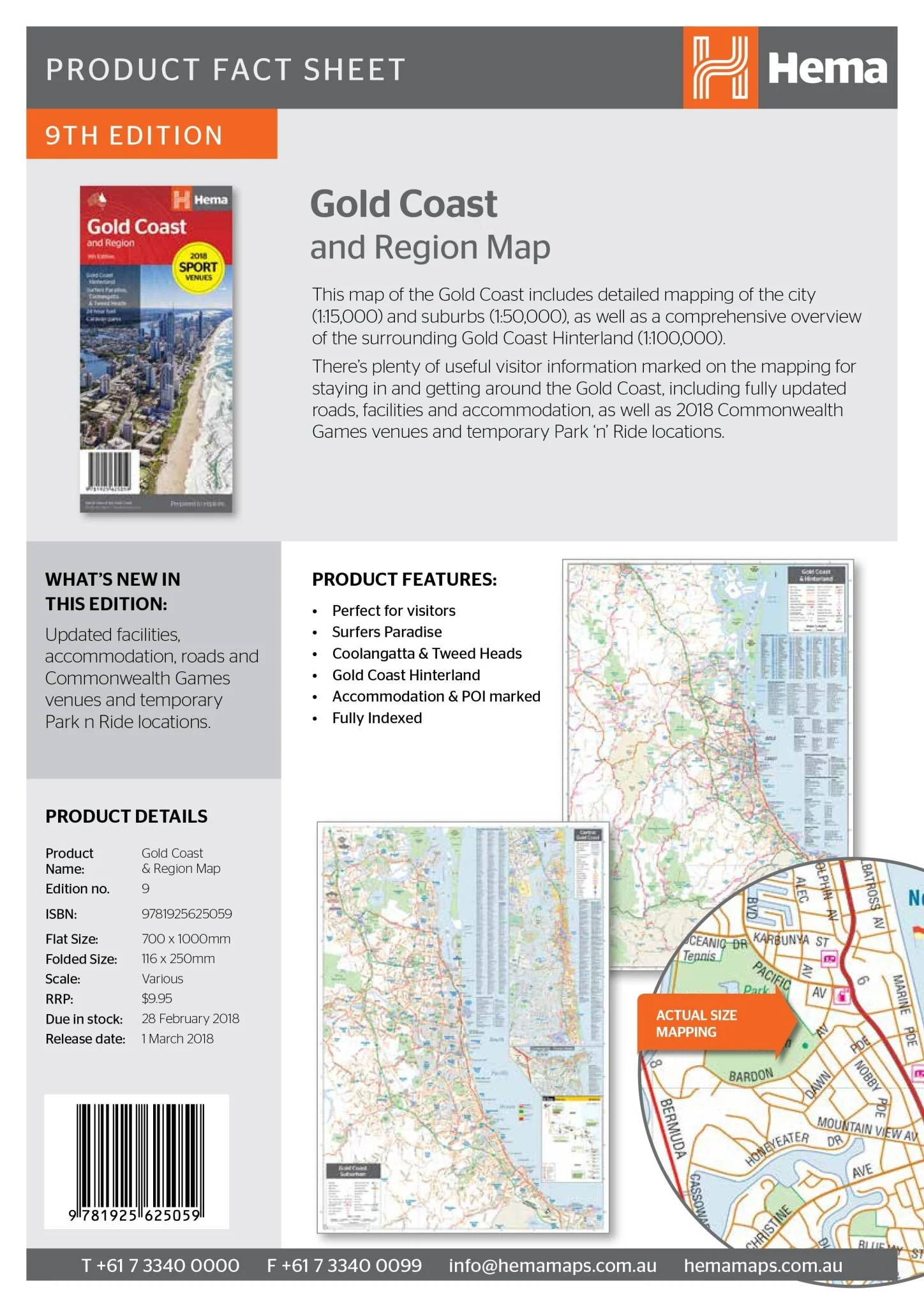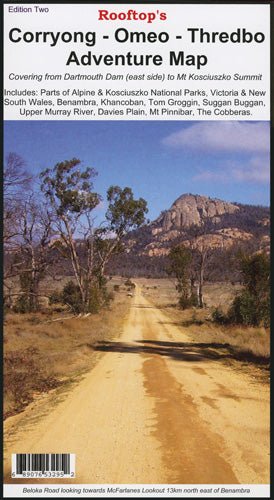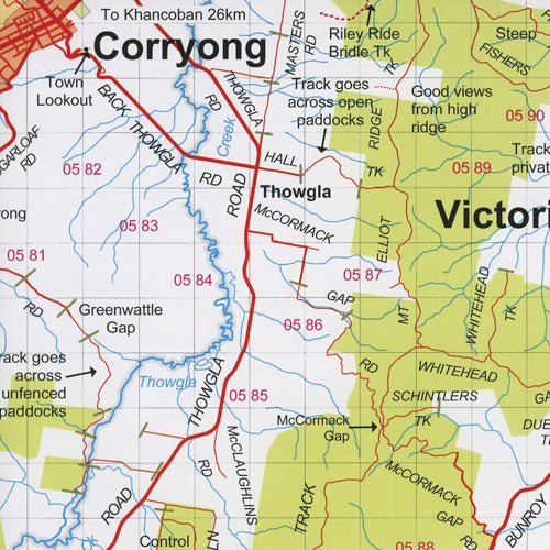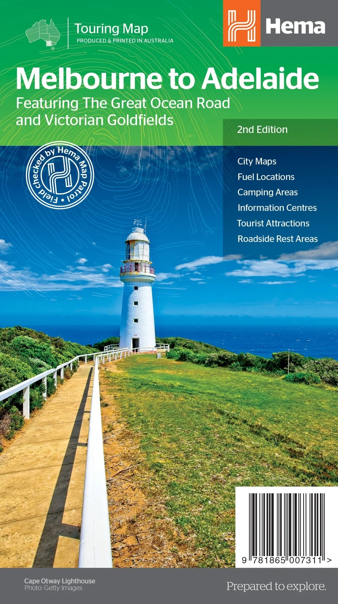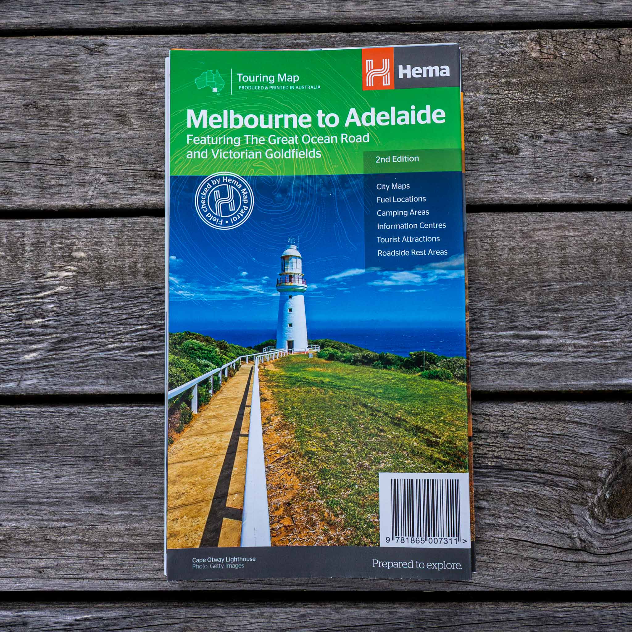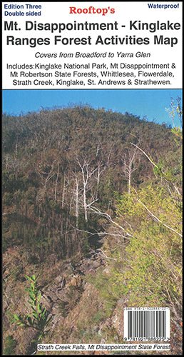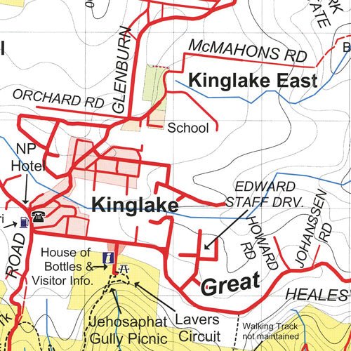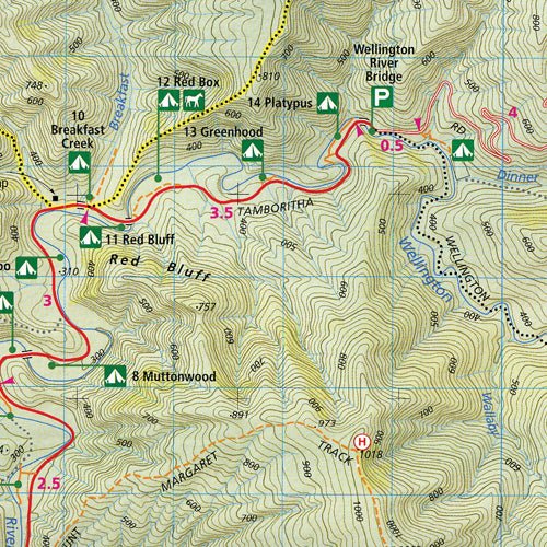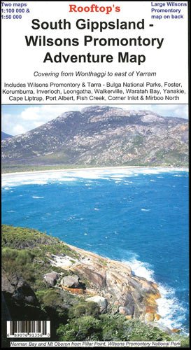
South Gippsland - Wilsons Promontory Map
A double-sided map that covers from Wonthaggi to east of Yarram, including Wilsons Promontory and Tarra-Bulga National Parks, Foster, Korumburra, Inverloch, Leongatha, Walkerville, Waratah Bay, Yanakie, Cape Liptrap, Port Albert, Fish Creek, Corner Inlet and Mirboo North on one side, and the other features a magnified Wilsons Promontory map.
More Images
South Gippsland - Wilsons Promontory Map
A double-sided map that covers from Wonthaggi to east of Yarram, including Wilsons Promontory and Tarra-Bulga National Parks, Foster, Korumburra, Inverloch, Leongatha, Walkerville, Waratah Bay, Yanakie, Cape Liptrap, Port Albert, Fish Creek, Corner Inlet and Mirboo North on one side, and the other features a magnified Wilsons Promontory map.
Product Information
Product Information
Shipping & Returns
Shipping & Returns
Description
A double-sided map that covers from Wonthaggi to east of Yarram, including Wilsons Promontory and Tarra-Bulga National Parks, Foster, Korumburra, Inverloch, Leongatha, Walkerville, Waratah Bay, Yanakie, Cape Liptrap, Port Albert, Fish Creek, Corner Inlet and Mirboo North on one side, and the other features a magnified Wilsons Promontory map.