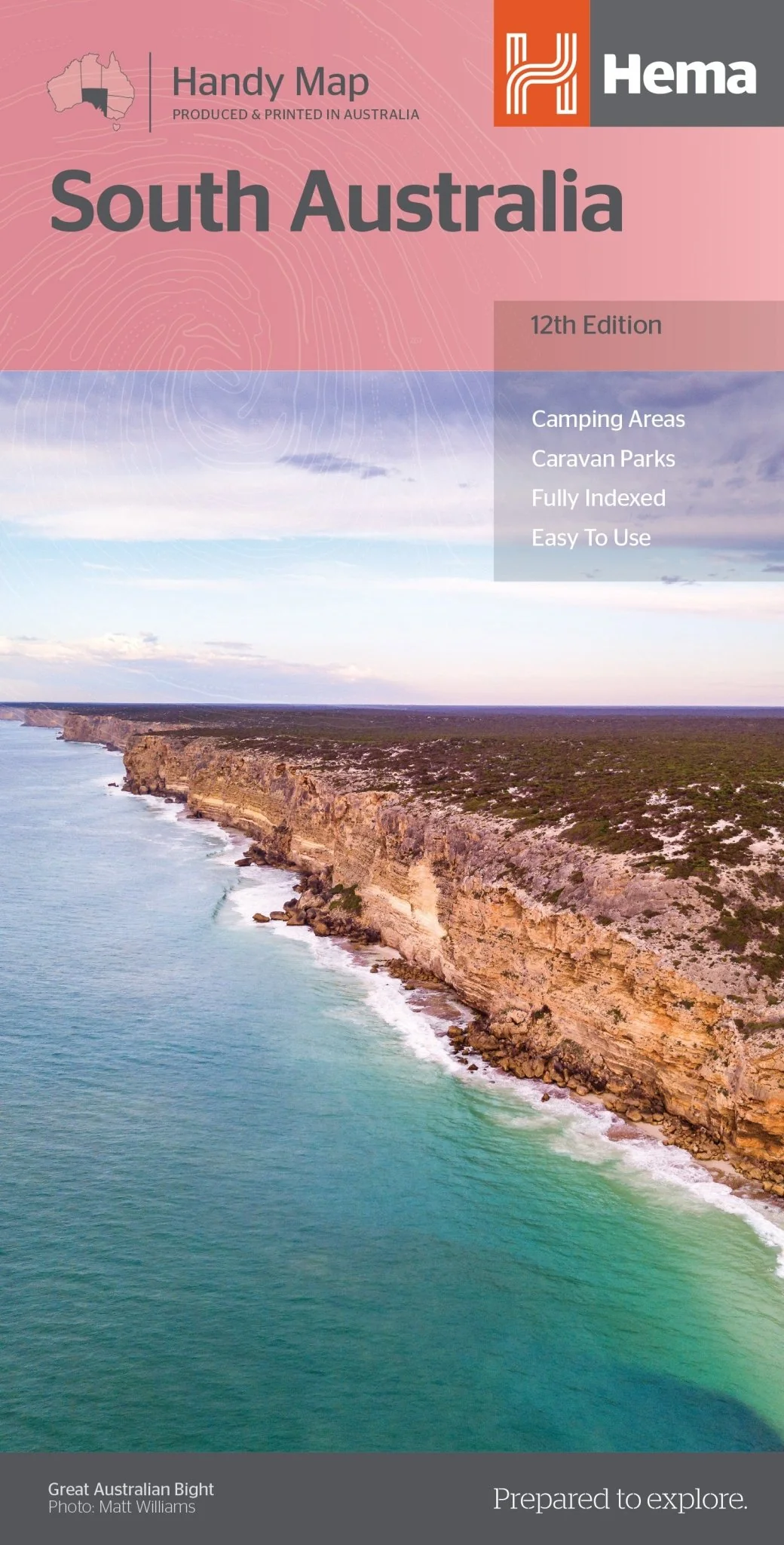
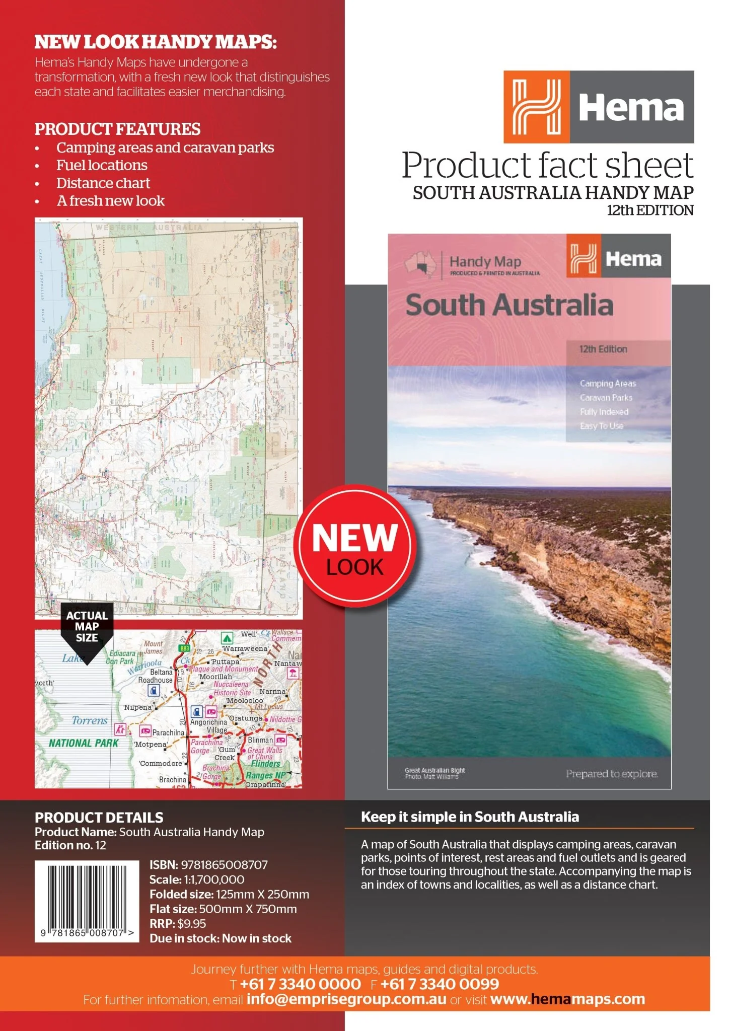
South Australia Handy Map
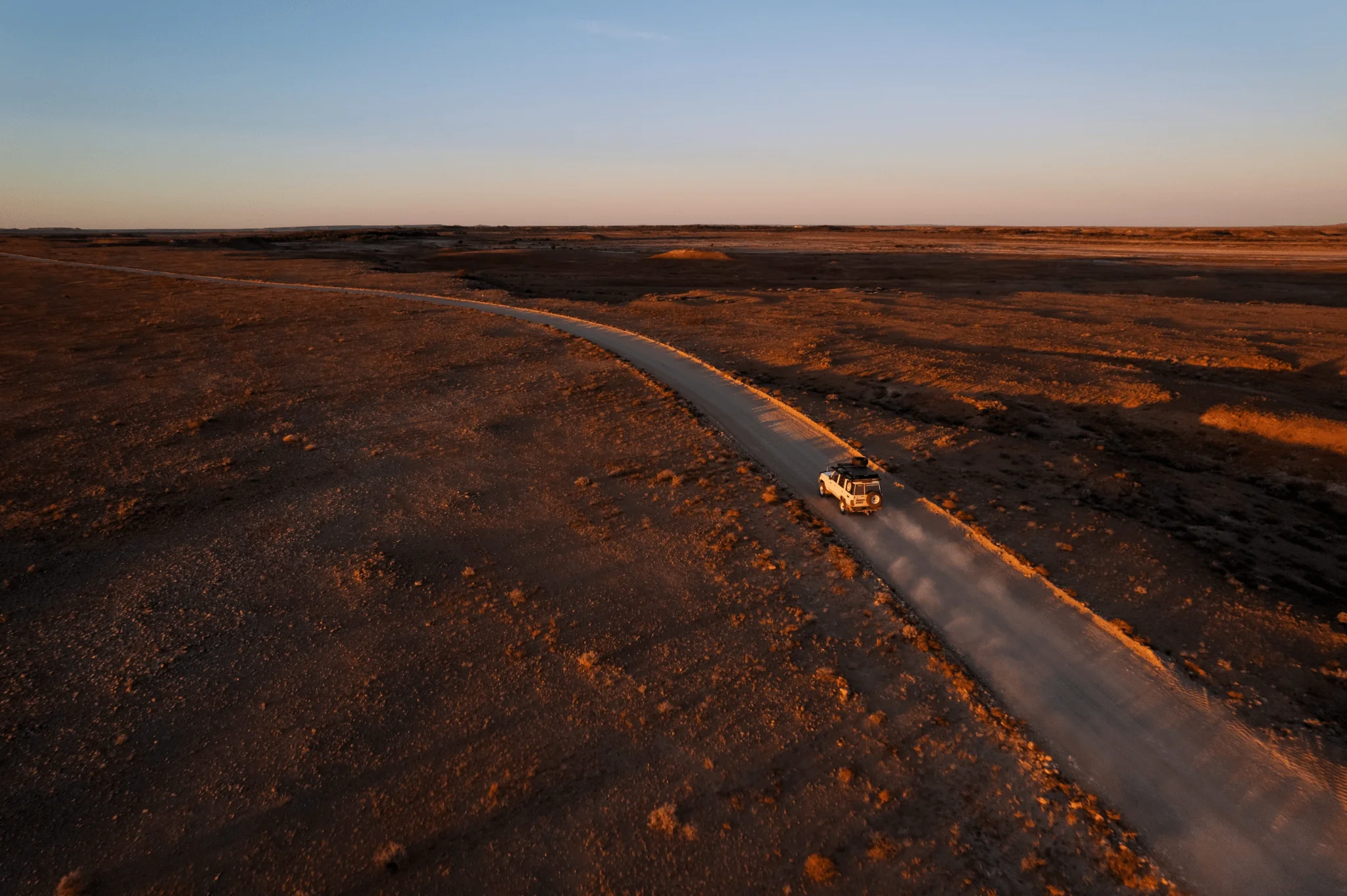
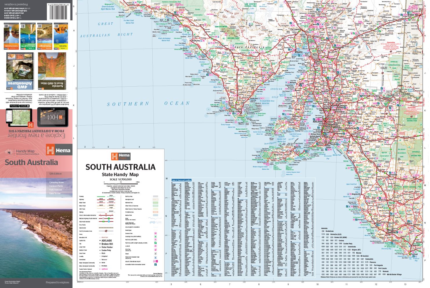
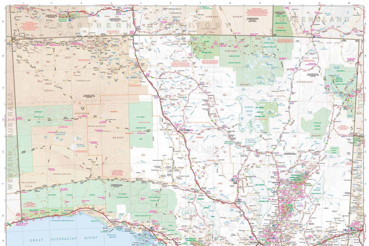
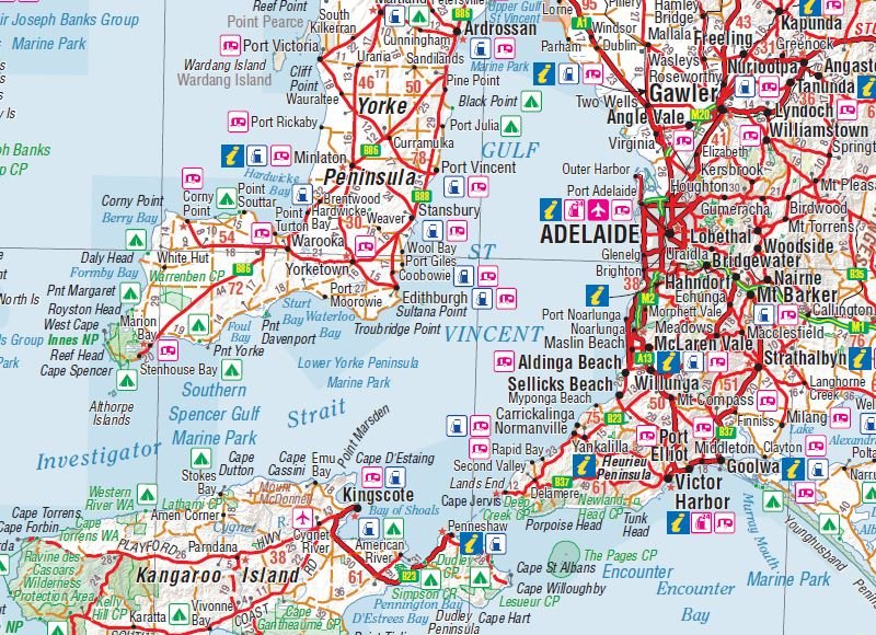
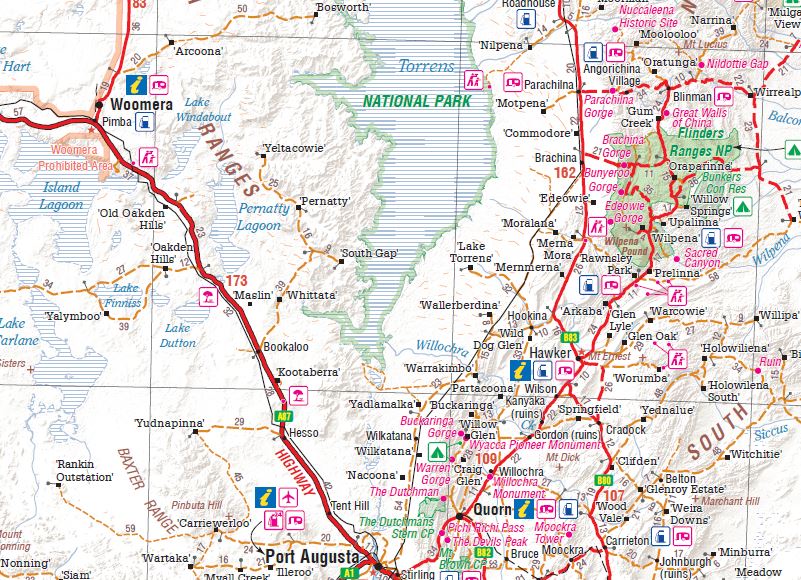
A map of South Australia that displays camping areas, caravan parks, points of interest, rest areas and fuel outlets and is geared for those touring throughout the state. Accompanying the map is an index of towns and localities, as well as a distance chart.
Key Features
• Camping areas and caravan parks
• Fuel locations
• Distance chart
• Fully indexed
• Easy to use
Key Specifications
Edition: 12th
Publication Date: 1/5/14
Scale: 1:1,700,000
Folded size (WxHxD): 125mm X 250mm x 3mm
Flat size (WxH): 500mm X 875mm
Weight: 0.05kg
More Images
South Australia Handy Map
A map of South Australia that displays camping areas, caravan parks, points of interest, rest areas and fuel outlets and is geared for those touring throughout the state. Accompanying the map is an index of towns and localities, as well as a distance chart.
Key Features
• Camping areas and caravan parks
• Fuel locations
• Distance chart
• Fully indexed
• Easy to use
Key Specifications
Edition: 12th
Publication Date: 1/5/14
Scale: 1:1,700,000
Folded size (WxHxD): 125mm X 250mm x 3mm
Flat size (WxH): 500mm X 875mm
Weight: 0.05kg
Product Information
Product Information
Shipping & Returns
Shipping & Returns
Description
A map of South Australia that displays camping areas, caravan parks, points of interest, rest areas and fuel outlets and is geared for those touring throughout the state. Accompanying the map is an index of towns and localities, as well as a distance chart.
Key Features
• Camping areas and caravan parks
• Fuel locations
• Distance chart
• Fully indexed
• Easy to use
Key Specifications
Edition: 12th
Publication Date: 1/5/14
Scale: 1:1,700,000
Folded size (WxHxD): 125mm X 250mm x 3mm
Flat size (WxH): 500mm X 875mm
Weight: 0.05kg


