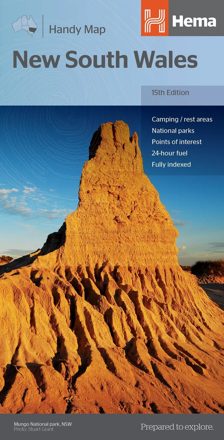
New South Wales Handy Map
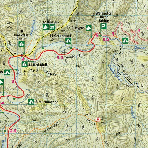
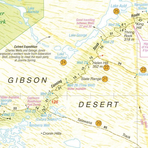
This fully indexed Handy Map of New South Wales is at a scale of 1:1,400,000 including National Parks, camping areas, caravan parks, rest areas, points of interest and 24-hour fuel.
Key Features
• 24-hour fuel
• National parks
• Camping areas
• Rest areas
• Fully indexed
Key Specifications
Edition: 15th
Publication Date: 19/12/18
Scale: 1:1,400,000
Folded size (WxHxD): 125mm X 250mm x 3mm
Flat size (WxH): 500mm X 875mm
Weight: 0.05kg
More Images


New South Wales Handy Map
This fully indexed Handy Map of New South Wales is at a scale of 1:1,400,000 including National Parks, camping areas, caravan parks, rest areas, points of interest and 24-hour fuel.
Key Features
• 24-hour fuel
• National parks
• Camping areas
• Rest areas
• Fully indexed
Key Specifications
Edition: 15th
Publication Date: 19/12/18
Scale: 1:1,400,000
Folded size (WxHxD): 125mm X 250mm x 3mm
Flat size (WxH): 500mm X 875mm
Weight: 0.05kg
Product Information
Product Information
Shipping & Returns
Shipping & Returns
Description
This fully indexed Handy Map of New South Wales is at a scale of 1:1,400,000 including National Parks, camping areas, caravan parks, rest areas, points of interest and 24-hour fuel.
Key Features
• 24-hour fuel
• National parks
• Camping areas
• Rest areas
• Fully indexed
Key Specifications
Edition: 15th
Publication Date: 19/12/18
Scale: 1:1,400,000
Folded size (WxHxD): 125mm X 250mm x 3mm
Flat size (WxH): 500mm X 875mm
Weight: 0.05kg