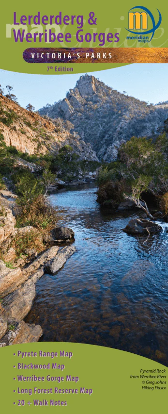
Lerderderg & Werribee Gorges Map Guide
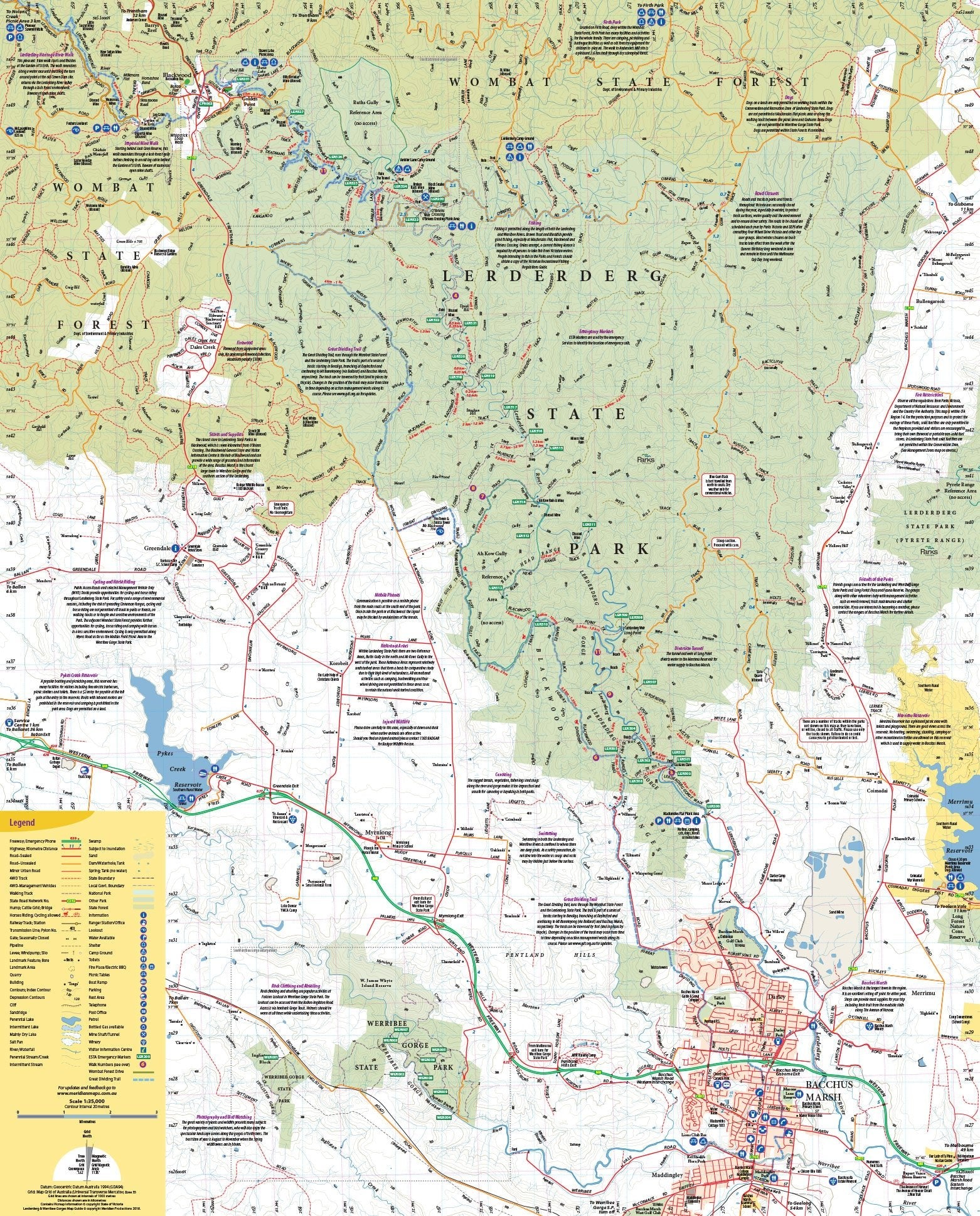
The main map features detailed mapping of Lerderderg State Park and Werribee Gorge State Park at 1:35,000. Coverage includes the towns of Blackwood, Greendale, Bacchus Marsh and Pykes Creek Reservoir.
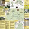
The reverse side provides enlargements of Werribee Gorge at 1:20,000, the Blackwood area at 1:15,000, and the Pyrete Range at 1:55,000 scale.
There are background notes on the history of the area and walk descriptions.
Map information includes road and track information, facility symbols, contours, and GPS coordinates.
Key Features
- Detailed mapping of Lerderderg State Park and Werribee Gorge State Park at 1:35,000
- Field and Track Notes
- Walking & 4WD Tracks
- Pyrete Range Map
- Suitable for use with GPS
- Tourist information
Key Specifications
Edition: 7th
Publication Date: 01/06/18
Scale: 1:35,000
Folded size (WxHxD): 100mm x 250mm x 3mm
Flat size (WxH): 750mm x 600mm
Weight: 0.06kgs
Original: $7.89
-65%$7.89
$2.76More Images
Lerderderg & Werribee Gorges Map Guide
The main map features detailed mapping of Lerderderg State Park and Werribee Gorge State Park at 1:35,000. Coverage includes the towns of Blackwood, Greendale, Bacchus Marsh and Pykes Creek Reservoir.
The reverse side provides enlargements of Werribee Gorge at 1:20,000, the Blackwood area at 1:15,000, and the Pyrete Range at 1:55,000 scale.
There are background notes on the history of the area and walk descriptions.
Map information includes road and track information, facility symbols, contours, and GPS coordinates.
Key Features
- Detailed mapping of Lerderderg State Park and Werribee Gorge State Park at 1:35,000
- Field and Track Notes
- Walking & 4WD Tracks
- Pyrete Range Map
- Suitable for use with GPS
- Tourist information
Key Specifications
Edition: 7th
Publication Date: 01/06/18
Scale: 1:35,000
Folded size (WxHxD): 100mm x 250mm x 3mm
Flat size (WxH): 750mm x 600mm
Weight: 0.06kgs
Product Information
Product Information
Shipping & Returns
Shipping & Returns
Description
The main map features detailed mapping of Lerderderg State Park and Werribee Gorge State Park at 1:35,000. Coverage includes the towns of Blackwood, Greendale, Bacchus Marsh and Pykes Creek Reservoir.
The reverse side provides enlargements of Werribee Gorge at 1:20,000, the Blackwood area at 1:15,000, and the Pyrete Range at 1:55,000 scale.
There are background notes on the history of the area and walk descriptions.
Map information includes road and track information, facility symbols, contours, and GPS coordinates.
Key Features
- Detailed mapping of Lerderderg State Park and Werribee Gorge State Park at 1:35,000
- Field and Track Notes
- Walking & 4WD Tracks
- Pyrete Range Map
- Suitable for use with GPS
- Tourist information
Key Specifications
Edition: 7th
Publication Date: 01/06/18
Scale: 1:35,000
Folded size (WxHxD): 100mm x 250mm x 3mm
Flat size (WxH): 750mm x 600mm
Weight: 0.06kgs


