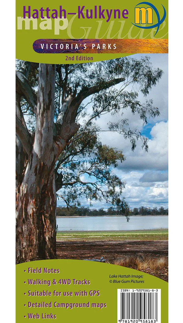
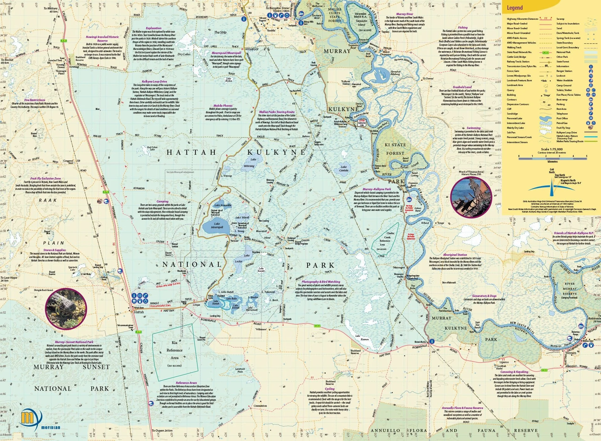
Hattah-Kulkyne Map Guide
Topographic map (1:75,000 scale) from Meridian Maps covering the Hattah-Kulkyne National Park and the Murray Kulkune Park with enlargements of Lake Hattah and Lake Mournpall camping areas. Features all the tracks, camping areas and lakes of the park. Ideal bushwalking, cycling and four-wheel drive map for this diverse Mallee park. Includes notes on the parks history, ecosystems and activities.
Key Features
- Detailed mapping of Hattah-Kulkyne National Park and the Murray Kulkune Parks
- Field and Track Notes
- Walking & 4WD Tracks
- Suitable for use with GPS
- Detailed campground maps
- Historical and tourist information.
Key Specifications
Edition: 2nd
Publication Date: 01/06/10
Scale: 1:75,000
Folded size (WxHxD): 100mm x 250mm x 3mm
Flat size (WxH): 594mm x 420mm
Weight: 0.06kgs
Original: $7.89
-65%$7.89
$2.76More Images
Hattah-Kulkyne Map Guide
Topographic map (1:75,000 scale) from Meridian Maps covering the Hattah-Kulkyne National Park and the Murray Kulkune Park with enlargements of Lake Hattah and Lake Mournpall camping areas. Features all the tracks, camping areas and lakes of the park. Ideal bushwalking, cycling and four-wheel drive map for this diverse Mallee park. Includes notes on the parks history, ecosystems and activities.
Key Features
- Detailed mapping of Hattah-Kulkyne National Park and the Murray Kulkune Parks
- Field and Track Notes
- Walking & 4WD Tracks
- Suitable for use with GPS
- Detailed campground maps
- Historical and tourist information.
Key Specifications
Edition: 2nd
Publication Date: 01/06/10
Scale: 1:75,000
Folded size (WxHxD): 100mm x 250mm x 3mm
Flat size (WxH): 594mm x 420mm
Weight: 0.06kgs
Product Information
Product Information
Shipping & Returns
Shipping & Returns
Description
Topographic map (1:75,000 scale) from Meridian Maps covering the Hattah-Kulkyne National Park and the Murray Kulkune Park with enlargements of Lake Hattah and Lake Mournpall camping areas. Features all the tracks, camping areas and lakes of the park. Ideal bushwalking, cycling and four-wheel drive map for this diverse Mallee park. Includes notes on the parks history, ecosystems and activities.
Key Features
- Detailed mapping of Hattah-Kulkyne National Park and the Murray Kulkune Parks
- Field and Track Notes
- Walking & 4WD Tracks
- Suitable for use with GPS
- Detailed campground maps
- Historical and tourist information.
Key Specifications
Edition: 2nd
Publication Date: 01/06/10
Scale: 1:75,000
Folded size (WxHxD): 100mm x 250mm x 3mm
Flat size (WxH): 594mm x 420mm
Weight: 0.06kgs


