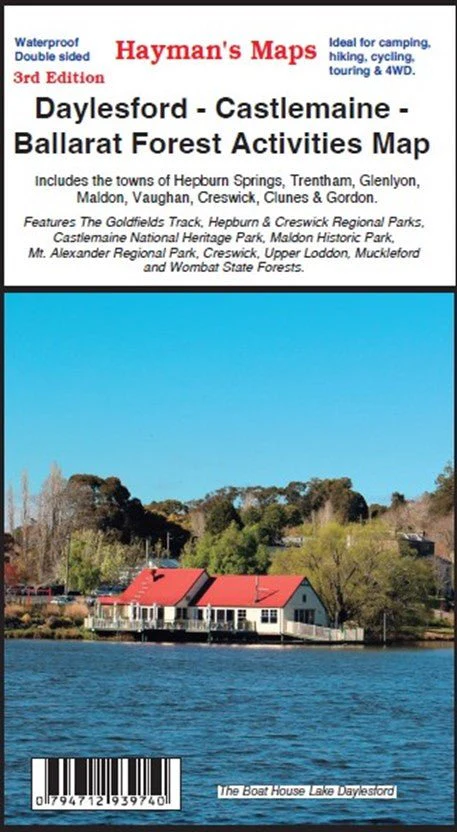
Daylesford – Castlemaine – Ballarat Forest Activities Map
Embark on an enriching journey through the picturesque landscapes of Daylesford, Castlemaine, and Ballarat with the Hayman's Maps 'Daylesford – Castlemaine – Ballarat Forest Activities Map'. This map is your essential guide to exploring the natural wonders and outdoor adventures of this remarkable region.
Discover a tapestry of parks and reserves, including the captivating Wombat and Creswick Forests, the serene Hepburn Regional Park, and the enchanting Bungal State Forest. Immerse yourself in the beauty of these landscapes, guided by the precision of this map's detailed scale (1:50,000).
As the 3rd Edition, it presents the most up-to-date and accurate representation of the area's offerings. Whether you're an experienced adventurer seeking new trails or a curious explorer looking to uncover hidden gems, this map is your perfect companion.
Key Features
- Hepburn & Creswick Regional Parks
- The Goldfields Track
- Castlemaine National Heritage Park
- Maldon Historic Park
- Mt Alexander Regional Park
- Wombat State Forest
Key Specifications
Edition: 3rd
Publication Date: 01/08/23
Scale: 1:50,000
Folded size (WxHxD): 142mm x 255mm x 3mm
Weight: 0.094kgs
Original: $10.78
-65%$10.78
$3.77Daylesford – Castlemaine – Ballarat Forest Activities Map
Embark on an enriching journey through the picturesque landscapes of Daylesford, Castlemaine, and Ballarat with the Hayman's Maps 'Daylesford – Castlemaine – Ballarat Forest Activities Map'. This map is your essential guide to exploring the natural wonders and outdoor adventures of this remarkable region.
Discover a tapestry of parks and reserves, including the captivating Wombat and Creswick Forests, the serene Hepburn Regional Park, and the enchanting Bungal State Forest. Immerse yourself in the beauty of these landscapes, guided by the precision of this map's detailed scale (1:50,000).
As the 3rd Edition, it presents the most up-to-date and accurate representation of the area's offerings. Whether you're an experienced adventurer seeking new trails or a curious explorer looking to uncover hidden gems, this map is your perfect companion.
Key Features
- Hepburn & Creswick Regional Parks
- The Goldfields Track
- Castlemaine National Heritage Park
- Maldon Historic Park
- Mt Alexander Regional Park
- Wombat State Forest
Key Specifications
Edition: 3rd
Publication Date: 01/08/23
Scale: 1:50,000
Folded size (WxHxD): 142mm x 255mm x 3mm
Weight: 0.094kgs
Product Information
Product Information
Shipping & Returns
Shipping & Returns
Description
Embark on an enriching journey through the picturesque landscapes of Daylesford, Castlemaine, and Ballarat with the Hayman's Maps 'Daylesford – Castlemaine – Ballarat Forest Activities Map'. This map is your essential guide to exploring the natural wonders and outdoor adventures of this remarkable region.
Discover a tapestry of parks and reserves, including the captivating Wombat and Creswick Forests, the serene Hepburn Regional Park, and the enchanting Bungal State Forest. Immerse yourself in the beauty of these landscapes, guided by the precision of this map's detailed scale (1:50,000).
As the 3rd Edition, it presents the most up-to-date and accurate representation of the area's offerings. Whether you're an experienced adventurer seeking new trails or a curious explorer looking to uncover hidden gems, this map is your perfect companion.
Key Features
- Hepburn & Creswick Regional Parks
- The Goldfields Track
- Castlemaine National Heritage Park
- Maldon Historic Park
- Mt Alexander Regional Park
- Wombat State Forest
Key Specifications
Edition: 3rd
Publication Date: 01/08/23
Scale: 1:50,000
Folded size (WxHxD): 142mm x 255mm x 3mm
Weight: 0.094kgs


