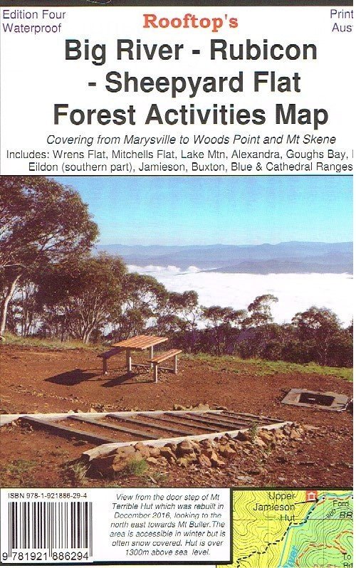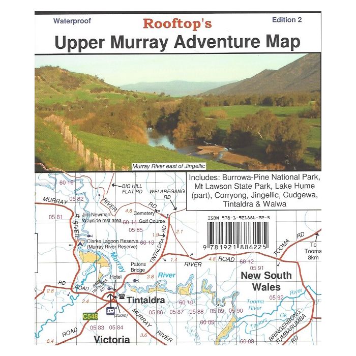
Upper Murray Adventure Map
Rooftop's Upper Murray
Albury to Corryong
Upper Murray Rooftop: Coverage extends from Albury / Wodonga to Corryong and from the Murray River, south to Mitta Mitta, Dartmouth Village, Glen Dart and Running Creek.
The map includes Mount Granya State Park, Lake Hume, Mount Lawson State Park, Burrowa - Pine Mountain National Park, Mount Mittamatite, Wabba Wilderness plus state forest around Cravensville, Eskdale, Mitta Mitta and Nariel.
- Detailed 4WD tracks
- National parks
- Camping areas
- Field surveyed roads & tracks
- Waterproof paper
Product Information
Product Information
Shipping & Returns
Shipping & Returns
Description
Rooftop's Upper Murray
Albury to Corryong
Upper Murray Rooftop: Coverage extends from Albury / Wodonga to Corryong and from the Murray River, south to Mitta Mitta, Dartmouth Village, Glen Dart and Running Creek.
The map includes Mount Granya State Park, Lake Hume, Mount Lawson State Park, Burrowa - Pine Mountain National Park, Mount Mittamatite, Wabba Wilderness plus state forest around Cravensville, Eskdale, Mitta Mitta and Nariel.
- Detailed 4WD tracks
- National parks
- Camping areas
- Field surveyed roads & tracks
- Waterproof paper