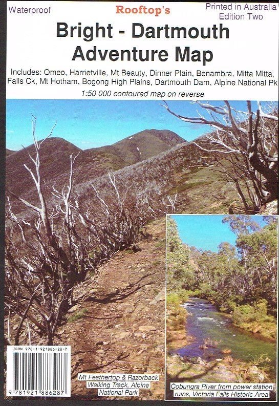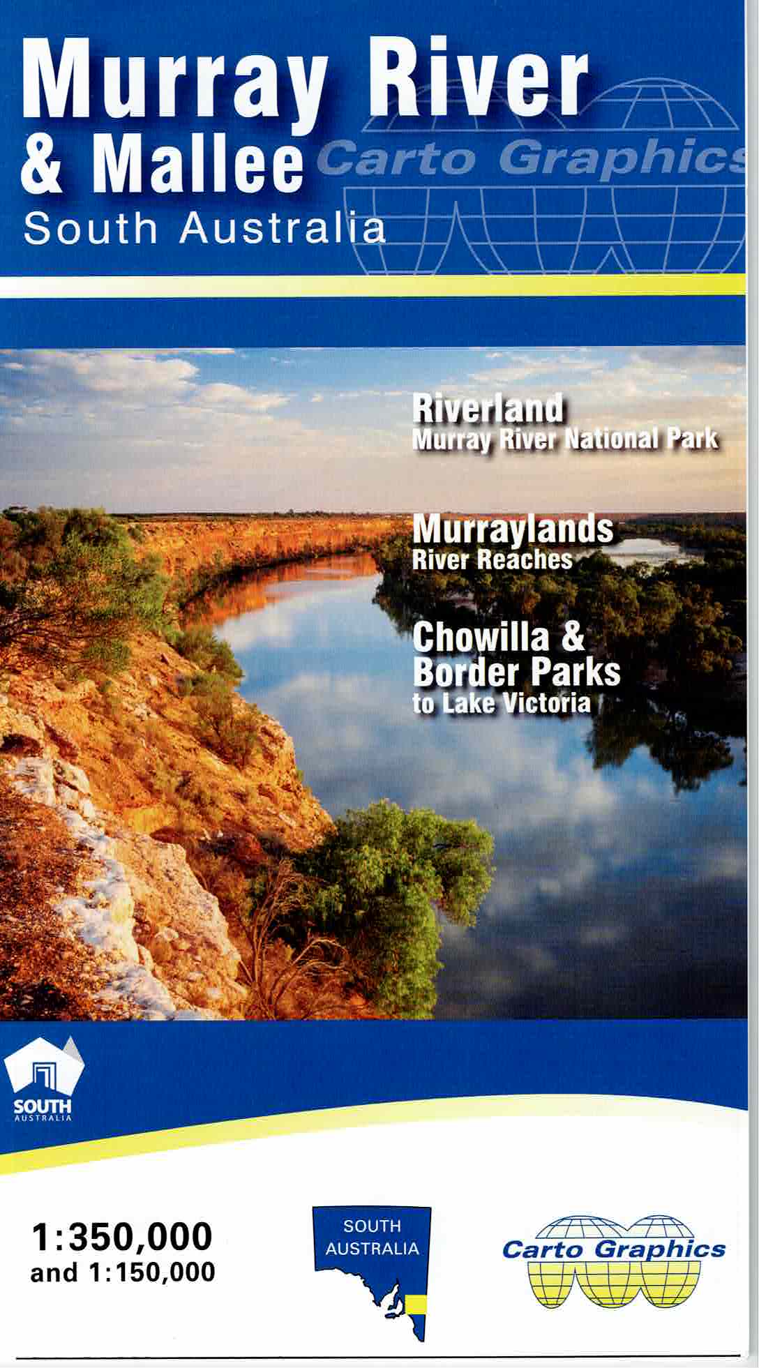
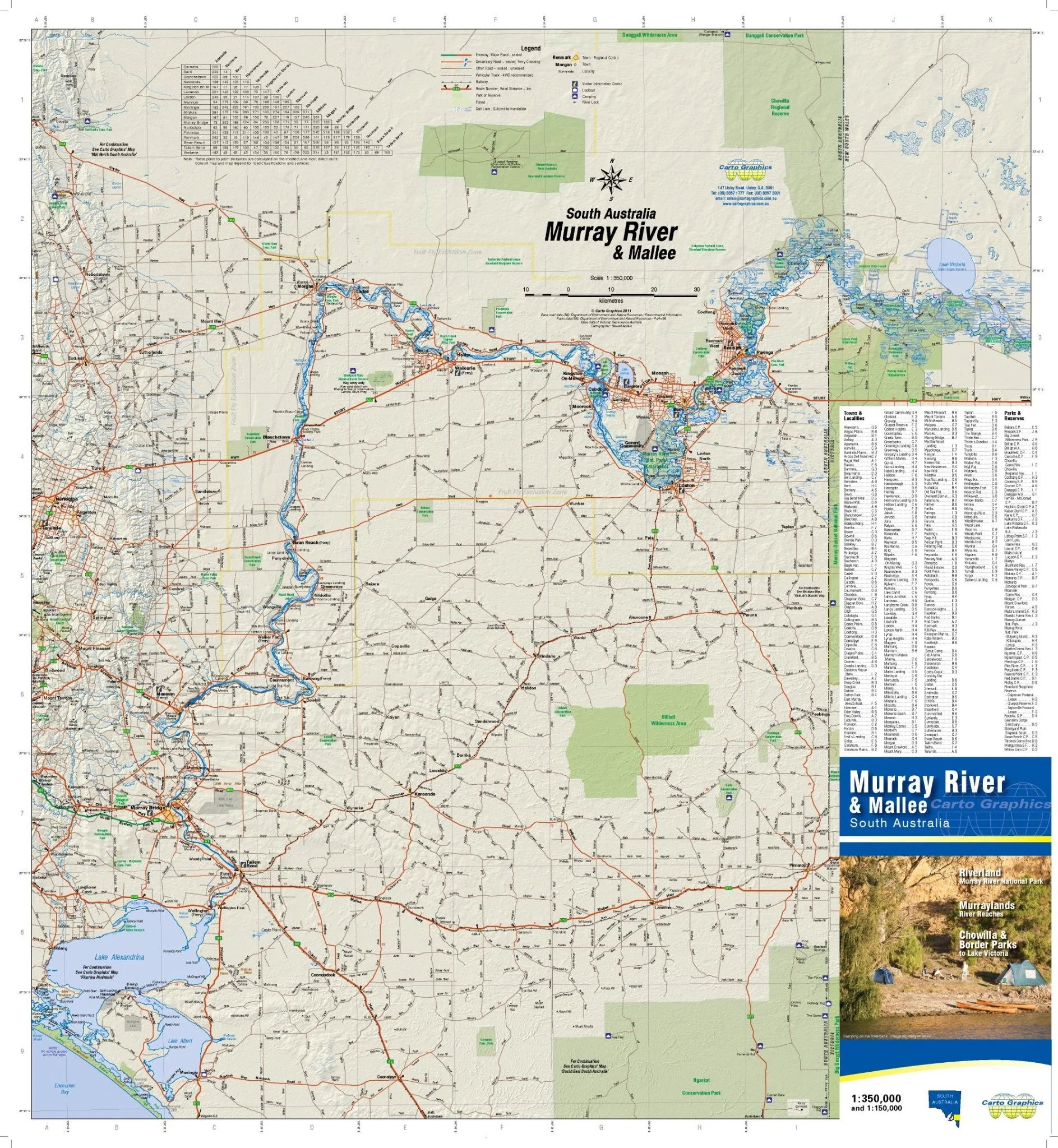
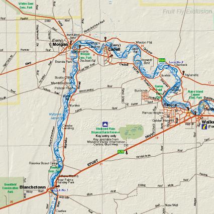
Murray River & Mallee Map
A detailed touring map of the South Australian Murray River and Mallee region from the Murray Mouth to Lock 8, showing major and minor roads (with names), national parks and conservation reserves. Includes road distances and surface information.
Map reverse side has detailed strip maps of the Murray River from Lake Alexandrina upstream to Lake Victoria and Lock 8 in NSW.
The maps show information centres, boat ramps, lookouts, cellar doors, camping, river locks, distances from the Murray mouth and roads down to 4WD tracks.
Key Features
- Detailed 4WD tracks
- National parks
- Camping areas
- Points of Interest
Key Specifications
Edition: 2nd
Publication Date: 01/04/22
Scale: 1:350,000
Folded size (WxHxD): 135mm x 245mm x 3mm
Weight: 0.04kgs
Original: $9.34
-65%$9.34
$3.27More Images
Murray River & Mallee Map
A detailed touring map of the South Australian Murray River and Mallee region from the Murray Mouth to Lock 8, showing major and minor roads (with names), national parks and conservation reserves. Includes road distances and surface information.
Map reverse side has detailed strip maps of the Murray River from Lake Alexandrina upstream to Lake Victoria and Lock 8 in NSW.
The maps show information centres, boat ramps, lookouts, cellar doors, camping, river locks, distances from the Murray mouth and roads down to 4WD tracks.
Key Features
- Detailed 4WD tracks
- National parks
- Camping areas
- Points of Interest
Key Specifications
Edition: 2nd
Publication Date: 01/04/22
Scale: 1:350,000
Folded size (WxHxD): 135mm x 245mm x 3mm
Weight: 0.04kgs
Product Information
Product Information
Shipping & Returns
Shipping & Returns
Description
A detailed touring map of the South Australian Murray River and Mallee region from the Murray Mouth to Lock 8, showing major and minor roads (with names), national parks and conservation reserves. Includes road distances and surface information.
Map reverse side has detailed strip maps of the Murray River from Lake Alexandrina upstream to Lake Victoria and Lock 8 in NSW.
The maps show information centres, boat ramps, lookouts, cellar doors, camping, river locks, distances from the Murray mouth and roads down to 4WD tracks.
Key Features
- Detailed 4WD tracks
- National parks
- Camping areas
- Points of Interest
Key Specifications
Edition: 2nd
Publication Date: 01/04/22
Scale: 1:350,000
Folded size (WxHxD): 135mm x 245mm x 3mm
Weight: 0.04kgs