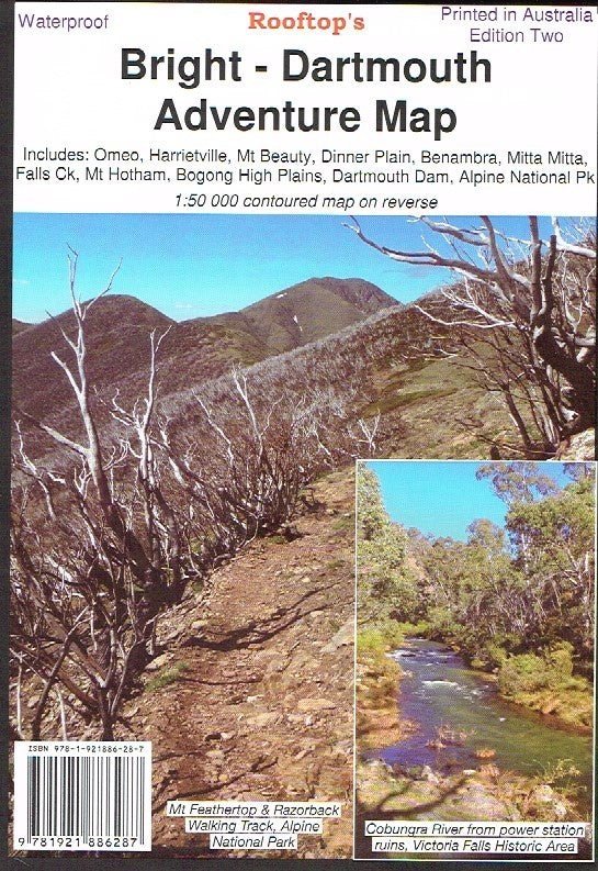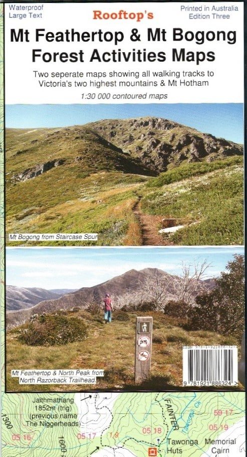
Mt Feathertop & Mt Bogong Forest Activities Maps
Coverage includes all walking tracks to Mount Feathertop, Harrietville, Upper West Kiewa River, Mount Hotham, Dibbins Hut, and an inset map for walks near Dinner Plain.
Facility symbols include Bush Huts, Toilets, Parking, Camping and Walking Access Only.
The 1:50,000 scale map also includes; roads, vehicle and walking tracks, contours, elevations, GPS coordinates and grid references for major points of interest.
Original: $10.06
-65%$10.06
$3.52More Images
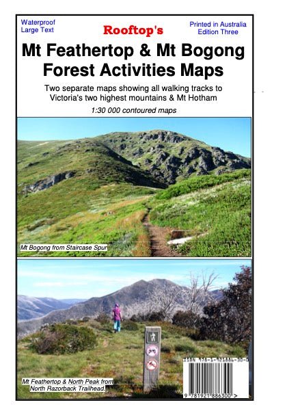
Mt Feathertop & Mt Bogong Forest Activities Maps
Coverage includes all walking tracks to Mount Feathertop, Harrietville, Upper West Kiewa River, Mount Hotham, Dibbins Hut, and an inset map for walks near Dinner Plain.
Facility symbols include Bush Huts, Toilets, Parking, Camping and Walking Access Only.
The 1:50,000 scale map also includes; roads, vehicle and walking tracks, contours, elevations, GPS coordinates and grid references for major points of interest.
Product Information
Product Information
Shipping & Returns
Shipping & Returns
Description
Coverage includes all walking tracks to Mount Feathertop, Harrietville, Upper West Kiewa River, Mount Hotham, Dibbins Hut, and an inset map for walks near Dinner Plain.
Facility symbols include Bush Huts, Toilets, Parking, Camping and Walking Access Only.
The 1:50,000 scale map also includes; roads, vehicle and walking tracks, contours, elevations, GPS coordinates and grid references for major points of interest.