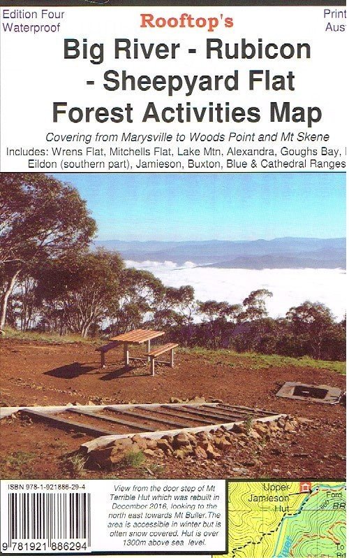
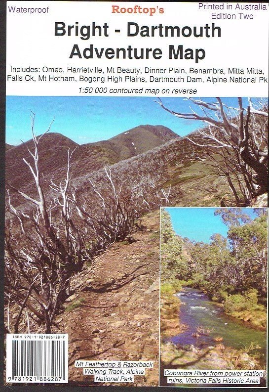
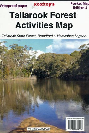
Benalla - Mansfield - Strathbogie Ranges Map
A double-sided map; on one side is the Adventure Map side (1:100 000 no contours) and includes the popular camping areas along the Goulburn River around Murchison. It also now includes most of the Winton Wetlands Forest Activities. On the other side is the Forest Activities side (1;50 000 20 m contours, large text) which includes all of the Strathbogie Ranges in one continuous map for the first time and over half of Mt Samaria State Park. Fully updated 4th edition on robust waterproof paper.
Product Information
Product Information
Shipping & Returns
Shipping & Returns
Description
A double-sided map; on one side is the Adventure Map side (1:100 000 no contours) and includes the popular camping areas along the Goulburn River around Murchison. It also now includes most of the Winton Wetlands Forest Activities. On the other side is the Forest Activities side (1;50 000 20 m contours, large text) which includes all of the Strathbogie Ranges in one continuous map for the first time and over half of Mt Samaria State Park. Fully updated 4th edition on robust waterproof paper.